launch
GhanaDisaster is live
SAshipped by Samuel Amidini Aningore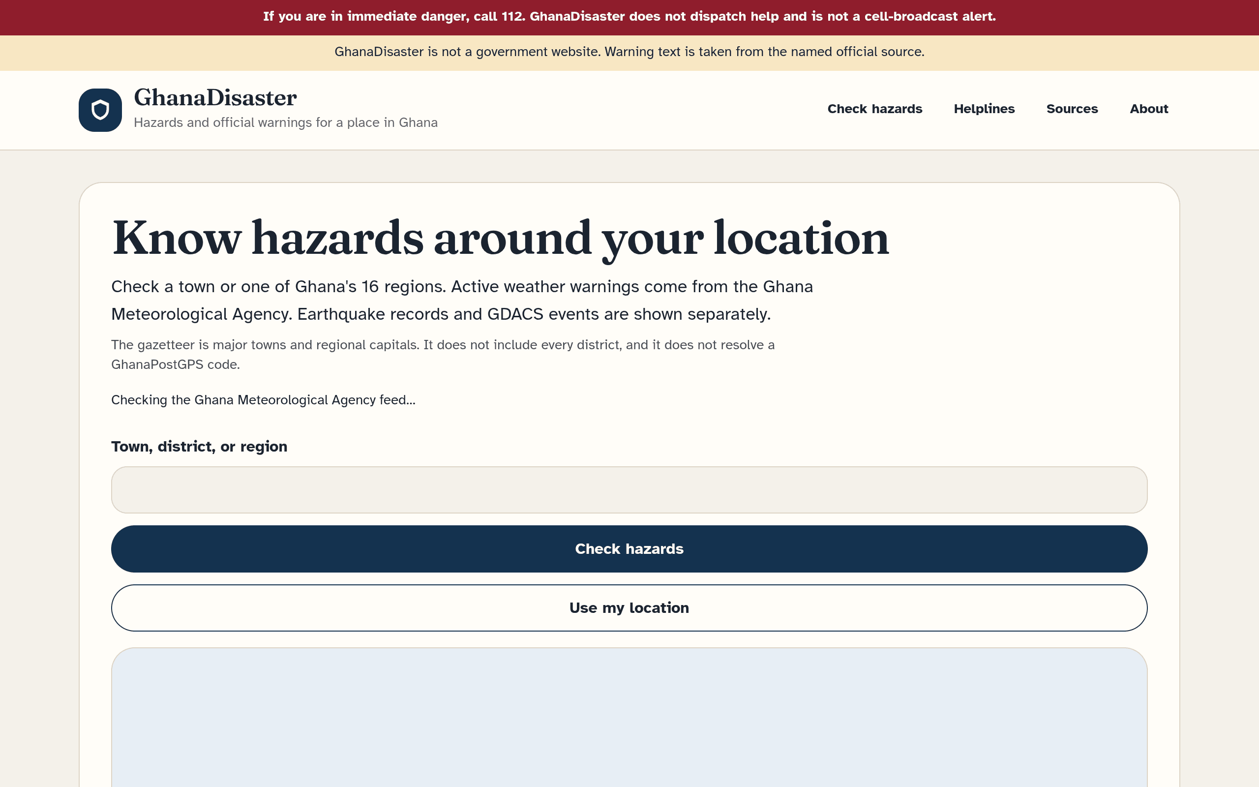
GhanaDisaster tells someone in Ghana which official hazards apply to a town, a region, or their own location.
A check reads the Ghana Meteorological Agency CAP feed, tests each warning polygon against that point, and keeps an alert only while it is still in force. USGS earthquakes and GDACS events are shown beside it and labeled as catalogs, not as Ghana Meteorological Agency warnings. An empty result stays empty. The site does not invent alerts, severities, or instructions, and it does not say an area is safe. The same place check names the region, and separate pages carry ReliefWeb bulletins and situation reports, OpenStreetMap road tags, Ghana Police Service missing-person notices, helplines, and a forecast. Use my location uses the map. Up to five places can be saved on the device, and a notification repeats a new Severe or Extreme headline only when its polygon contains a saved point. It is an independent information service. It is not a government site, and it does not dispatch help.
Built with Next.js, React, TypeScript, Node.js, Tailwind CSS, REST API, Vercel, MapLibre.